
About North Cyprus · Map
Map of North Cyprus: districts, towns and landforms
As of 23 October 2026, North Cyprus is described in the sources we checked as having six districts: Lefkoşa, Girne, Gazimağusa, İskele, Güzelyurt and Lefke. Lefkoşa (North Nicosia) is the seat of government, Girne and Gazimağusa are on the coast, and the Karpaz Peninsula lies in the north-east. This page lists each district, names the main geographic features, explains place names in two languages and offers an interactive OpenStreetMap map that loads on request.
Checked 23 October 2026 against the sources named in the text and listed below. Positions of parties are attributed to them.

The six districts at a glance
Wikipedia's article on the districts of Northern Cyprus lists six districts: Gazimağusa, Girne, Güzelyurt, İskele, Lefke and Lefkoşa. It gives each a centre and one or more sub-districts. The same article, citing a newspaper report, says Lefke became the sixth district in December 2016, after it was separated from Güzelyurt. The table below follows that article; the cards add the settlements named on each district's own Wikipedia page.
The district list follows that article; confirm administrative details with the relevant authority before relying on them. Our area guides cover Kyrenia, Bellapais, Esentepe, Lapta, Alsancak, Tatlısu and more.
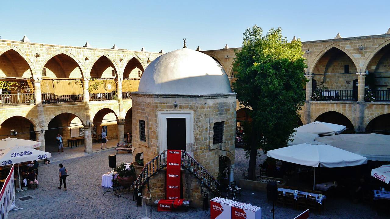
Zairon · CC BY-SA 4.0 · Wikimedia Commons district
Lefkoşa District
Centre: Lefkoşa (North Nicosia). Sub-districts named: Lefkoşa and Değirmenlik. Settlements listed on the district page include Gönyeli, Hamitköy, Haspolat, Alayköy, Gaziköy and Kırklar.
Source: en.wikipedia.org
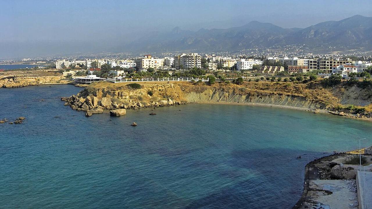
Paul Lakin · CC BY 3.0 · Wikimedia Commons district
Girne District
Centre: Girne (Kyrenia). Sub-districts named: Girne and Çamlıbel. The district page does not list further towns.
Source: en.wikipedia.org
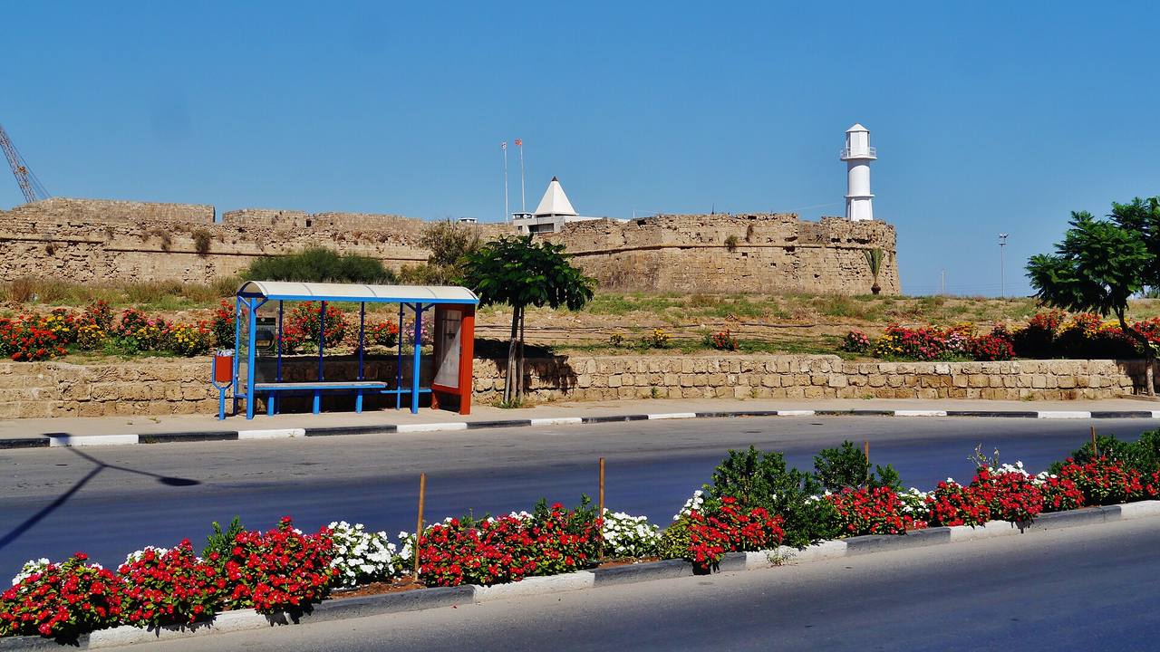
Zairon · CC BY-SA 4.0 · Wikimedia Commons district
Gazimağusa District
Centre: Gazimağusa (Famagusta). Sub-districts named: Mağusa, Akdoğan and Geçitkale.
Source: en.wikipedia.org
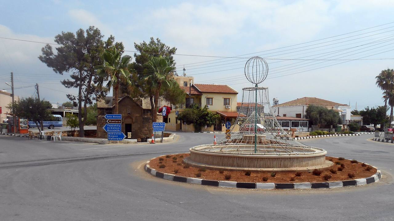
Nikolay Kazak · CC BY-SA 4.0 · Wikimedia Commons district
İskele District
Centre: İskele (Trikomo). Sub-districts named: İskele, Mehmetçik and Yeni Erenköy. Settlements listed include Mehmetçik (Galateia), Yeni Erenköy (Yialousa), Dipkarpaz (Rizokarpaso) and Kantara.
Source: en.wikipedia.org
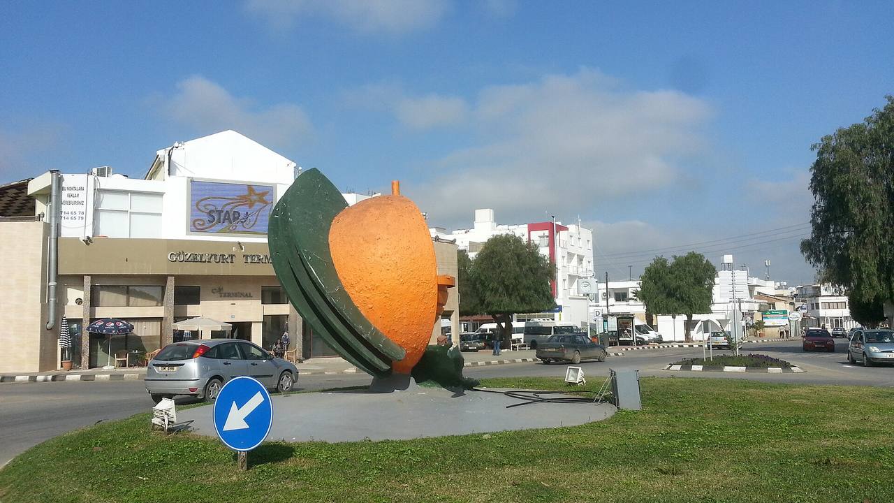
Seksen iki yüz kırk beş · CC BY-SA 4.0 · Wikimedia Commons district
Güzelyurt District
Centre: Güzelyurt (Morphou). Settlements listed include Akçay, Gayretköy, Yuvacık, Serhatköy, Zümrütköy, Aydınköy and Yayla.
Source: en.wikipedia.org
1 / 6
| District | Centre | Main towns and villages named by the source |
|---|---|---|
| Lefkoşa | Lefkoşa (North Nicosia) | Sub-districts Lefkoşa, Değirmenlik; Gönyeli, Hamitköy, Haspolat, Alayköy, Gaziköy, Kırklar |
| Girne | Girne (Kyrenia) | Sub-districts Girne, Çamlıbel |
| Gazimağusa | Gazimağusa (Famagusta) | Sub-districts Mağusa, Akdoğan, Geçitkale |
| İskele | İskele (Trikomo) | Sub-districts İskele, Mehmetçik, Yeni Erenköy; Dipkarpaz, Kantara |
| Güzelyurt | Güzelyurt (Morphou) | Akçay, Gayretköy, Yuvacık, Serhatköy, Zümrütköy, Aydınköy, Yayla |
| Lefke | Lefke (Lefka) | Gemikonağı, Yeşilırmak, Doğancı, Denizli, Erenköy |

Interactive map (OpenStreetMap)
The map below is built from OpenStreetMap tiles, a community-built map under the ODbL licence, credited as OpenStreetMap contributors. It loads only when you press the button, because loading it sends your IP address to OpenStreetMap. Place names on the map come from OpenStreetMap contributors and may appear in more than one language. Use the link under the map for the interactive version.
Loading the map sends your IP address to OpenStreetMap. Data © OpenStreetMap contributors, ODbL.
Open the interactive map on OpenStreetMap · © OpenStreetMap contributors
Main geographic features
Wikipedia describes the Kyrenia Mountains (Girne Dağları in Turkish) as a long, narrow range along the northern coast, about 160 km in length. The name Beşparmak, from Pentadaktylos, is used for the western part. St Hilarion, Buffavento and Kantara are the castles named in that article. See our castles guide.
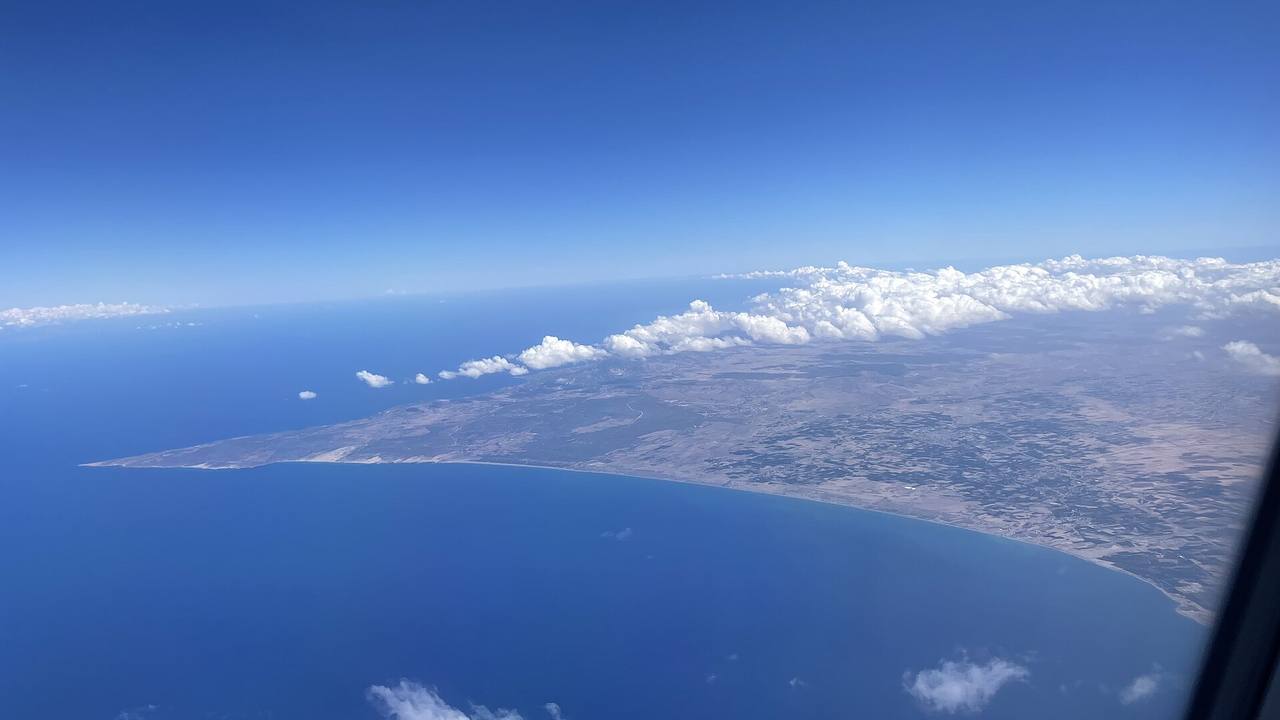
The Mesaoria plain (Mesarya in Turkish) is described as lying between the Kyrenia Mountains to the north and the Troodos Mountains to the south, from Famagusta Bay in the east to Morphou Bay in the west. The Karpaz Peninsula ends at Cape Apostolos Andreas and, per Wikipedia, lies in the north-east of the island; İskele is described as its gateway. For beaches and the coast, see beaches and coast.
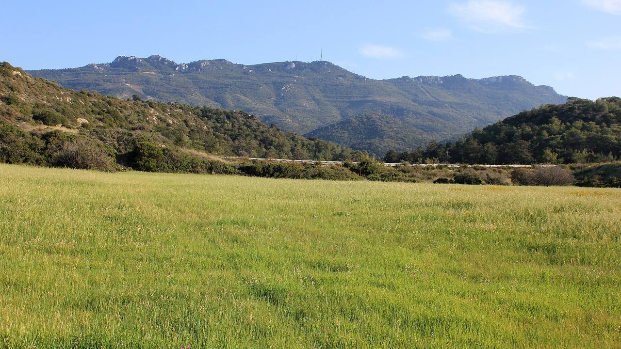
Julian Nyča · CC BY-SA 3.0 · Wikimedia Commons feature
Kyrenia Mountains (Girne Dağları, Beşparmak)
Narrow range along the northern coast, about 160 km long according to Wikipedia; castles named: St Hilarion, Buffavento, Kantara.
Source: en.wikipedia.org
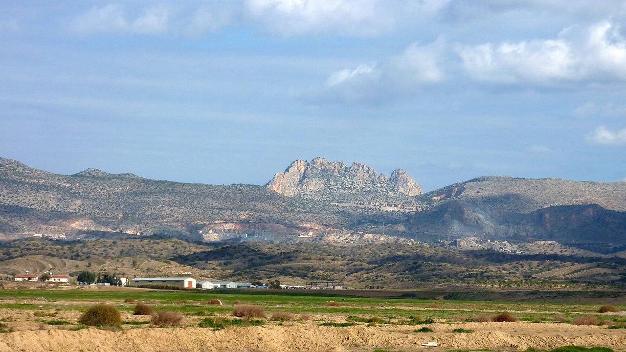
muffinn · CC BY 2.0 · Wikimedia Commons feature
Mesaoria plain (Mesarya)
Plain in the north-centre of the island between the Kyrenia and Troodos ranges, from Famagusta Bay to Morphou Bay.
Source: en.wikipedia.org
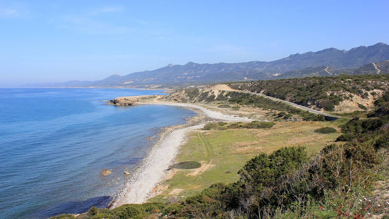
Julian Nyča · CC BY-SA 3.0 · Wikimedia Commons feature
Karpaz Peninsula
Finger-like peninsula in the north-east ending at Cape Apostolos Andreas; Trikomo (İskele) is named as its gateway.
Source: en.wikipedia.org
Ssu · CC BY-SA 4.0 · Wikimedia Commons feature
Bays and capes
Wikipedia's Northern Cyprus article names two bays, Morphou Bay and Famagusta Bay, and four capes: Apostolos Andreas, Kormakitis, Zeytin and Kasa.
Source: en.wikipedia.org
1 / 4
Place names in two languages
Maps of the island use Turkish names, Greek names, or both. Wikipedia's district pages give pairs such as Girne and Kyrenia, Gazimağusa and Famagusta, Güzelyurt and Morphou, İskele and Trikomo, Lefke and Lefka. Its Nicosia article notes the city is called Lefkosia in Greek and Lefkoşa in Turkish.
Many villages carry two names as well, for example Karavostasi and Gemikonağı, or Tymbou and Kırklar. OpenStreetMap's wiki explains that its name:en tag holds the name English speakers use. When you compare maps, expect the same place under different spellings, and check the village against its coordinates or district rather than the label alone.
Where to find official and open maps
The UN Peacekeeping Force in Cyprus (UNFICYP) publishes a deployment map as an image on its site, last updated 25 November 2025 according to the page. Its buffer zone page describes a UN-controlled strip, also called the Green Line, that the UN says extends approximately 180 km, and notes that its width varies from a few metres in parts of old Nicosia to a few kilometres elsewhere.
OpenStreetMap is a community-built map. Its copyright page states that the data is under the Open Database License (ODbL) and asks users to credit OpenStreetMap by displaying an attribution notice; the usual wording is OpenStreetMap contributors.
1 / 3
Using this page with our area guides
Start with the district table to see which district a town belongs to, then open the matching guide for that part of the coast or countryside. Area guides cover Kyrenia, Bellapais, Esentepe, Lapta, Alsancak, Tatlısu and others, and About North Cyprus gives the wider background.
For day planning, family days out and weather and seasons add practical context. A map shows where a place is; it does not show title, zoning or planning status, so property questions should go through a licensed adviser and the relevant registry.
1 / 4
Practical notes
- Geography and district details come mainly from Wikipedia; no TRNC government page listing the districts could be opened, so confirm with the authority before relying on them.
- Sources describe the island's administration differently; Wikipedia notes Nicosia as capital of the Republic of Cyprus and North Nicosia as de facto capital of Northern Cyprus.
- The UNFICYP buffer zone length (approximately 180 km) is the UN's own figure.
- No distances, populations, areas or road routes are stated on this page.
Frequently asked questions
How many districts does North Cyprus have?
Wikipedia's districts article lists six: Lefkoşa, Girne, Gazimağusa, İskele, Güzelyurt and Lefke. It says Lefke became the sixth district in December 2016, after being separated from Güzelyurt, according to the article.
What is the capital of North Cyprus?
Wikipedia states that North Nicosia (Lefkoşa) is the de facto capital of Northern Cyprus, while Nicosia is the capital of the Republic of Cyprus. The city is called Lefkosia in Greek and Lefkoşa in Turkish, so both spellings appear on maps.
Where is the Karpaz Peninsula?
Wikipedia places it in the north-east of the island, ending at Cape Apostolos Andreas. It names Trikomo (İskele), the centre of İskele District, as the peninsula's gateway, and the area is listed under that district.
Where can I find a detailed map of North Cyprus?
This page includes an interactive OpenStreetMap map that loads when you press the button; OpenStreetMap is a community map under the ODbL licence, credited as OpenStreetMap contributors. UNFICYP also publishes a deployment map image on its site.
What are the Beşparmak mountains?
Beşparmak, from Pentadaktylos, is the name Wikipedia gives to the western part of the Kyrenia Mountains, called Girne Dağları in Turkish. The range runs along the northern coast, is about 160 km long.
Why do places have two names on maps?
Maps may show Turkish names, Greek names or both. Examples from Wikipedia's district pages include Girne and Kyrenia, Güzelyurt and Morphou, İskele and Trikomo, and Lefke and Lefka, so a search in either language should find the same place.
Sources
- Wikipedia: Districts of Northern Cyprus
- Wikipedia: Girne District
- Wikipedia: İskele District
- Wikipedia: Güzelyurt District
- Wikipedia: Lefke District
- Wikipedia: Lefkoşa District
- Wikipedia: Kyrenia Mountains
- Wikipedia: Mesaoria
- Wikipedia: Karpas Peninsula
- Wikipedia: Northern Cyprus
- Wikipedia: Nicosia
- Wikipedia: Ercan International Airport
- UNFICYP: About the buffer zone
- UNFICYP: Map of UNFICYP deployment
- OpenStreetMap copyright
- OpenStreetMap wiki: Key:name:en
- TRNC Land Registry and Survey Department
- TRNC Statistical Institute
Questions about North Cyprus?
Write to NORTHEA for a private conversation about areas, hotels or property.